Satellite images used to track mangrove health in western India
Mangroves are an essential part of many coastal ecosystems. In order to better monitor and protect the mangrove forests in Maharashtra, the Indian Institute of Space and Science Technology (ISST), an independent research institution, will be using satellite images to track mangrove health.
An important part of the ecosystem
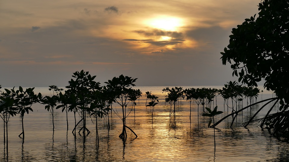
Mangrove is a common tree found in coastal and riverside communities in countries all over the world. This plant serves as a habitat for large numbers of crustaceans, fish, amphibians, birds, and reptiles. Aside from serving as a home for wildlife, mangrove trees are also effective natural protection against coastal erosion.
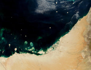
To aid in protecting these trees, ISST was commissioned India’s Forest Department to track mangrove health via real-time, remote sensing data from satellites. Researchers will create reports based on data acquired from the images. The reports will cover area coverage increase, destruction, and areas requiring restoration. The Forest Department will receive these reports on a monthly basis.
This marks the first time in India where resources have been allocated to survey coastline mangrove cover. Officials have mentioned that a large number of mangrove patches are inaccessible by foot and boat due to density. According to N Vasudevan, Principal Chief Conservator of Forest, “We need an eye in the sky or more advanced technology to monitor the mangrove cover. This will help us to deploy manpower and resources optimally.”
Earlier this year, the program’s proponents forwarded the project proposal to the government. Several meetings were convened and ended with the project being awarded to ISST.
Furthermore, in a government report, it was stated that Maharashtra maintains 222sq km of mangrove cover. This is roughly 4.7% of India’s total mangrove cover.
Monitoring mangrove health in Maharashtra
IIST will develop a spatial database which will comprise of baseline maps covering mangrove areas. The database will maintain a buffer zone of 10km from the coast of five coastal districts of Maharashtra. Also, it will keep track of species distribution, canopy density, and surface water formations.
The database will be compiled using open source software developed by the Maharashtra Remote Sensing Application Center, a government-funded institution created for the development of Geographic Information Systems and Remote Sensing Technology.


