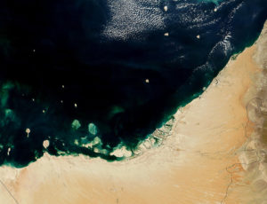
JAXA to provide free satellite imaging data for Japanese businesses
Japanese government officials disclosed that they are aiming to provide free access to a large database of satellite images by 2018. The administration’s objective is to disseminate the data so as to aid in the analysis of the data. Infrastructure inspection and analysis, as well as crop harvest forecasts, are expected to improve.
Free satellite imaging for businesses
The official announcement is due on November 3, Friday. It will come as part of a satellite data usage report by a panel comprised of officers from the country’s various economic and scientific ministries. The panel is to be joined by officials from the Japan Aerospace Exploration Agency (JAXA), the National Institute of Advanced Industrial Science and Technology (AIST) and experts from the academe and information technology sector.
JAXA has collected a massive database filled with satellite imagery. Originally, the Daichi Earth Observation satellite collected these images for use by Japan’s Geospatial Information Authority. The purpose was to update maps and track disasters. The government now sees new potential uses for it.
In the past, just one of these images would cost companies upwards of ten dollars. Businesses have not fully utilized these services as extracting valuable information from the satellite service is exceedingly expensive. Costs would stem not only from a large number of photos required for analysis but software and specialist expertise to interpret data as well.
A new tool for Japanese business
The AIST is set to develop an artificial intelligence-based program to analyze the massive amounts of information. The data and subsequent analysis will be available to businesses who sign up for the service via a dedicated website.
The economy ministry believes that the increased availability of the images and data will draw interest from numerous industries.
Data acquired from Japan’s satellite has wide-ranging applications. Agricultural companies would be able to better identify the optimal harvest time. Construction firms would be able to better monitor large-scale construction projects. Oil and petroleum industry players will be better able to monitor supply and product movement.
Improving satellite data accessibility is a part of the Economy Ministry’s intention to engage the private sector and push innovation.


